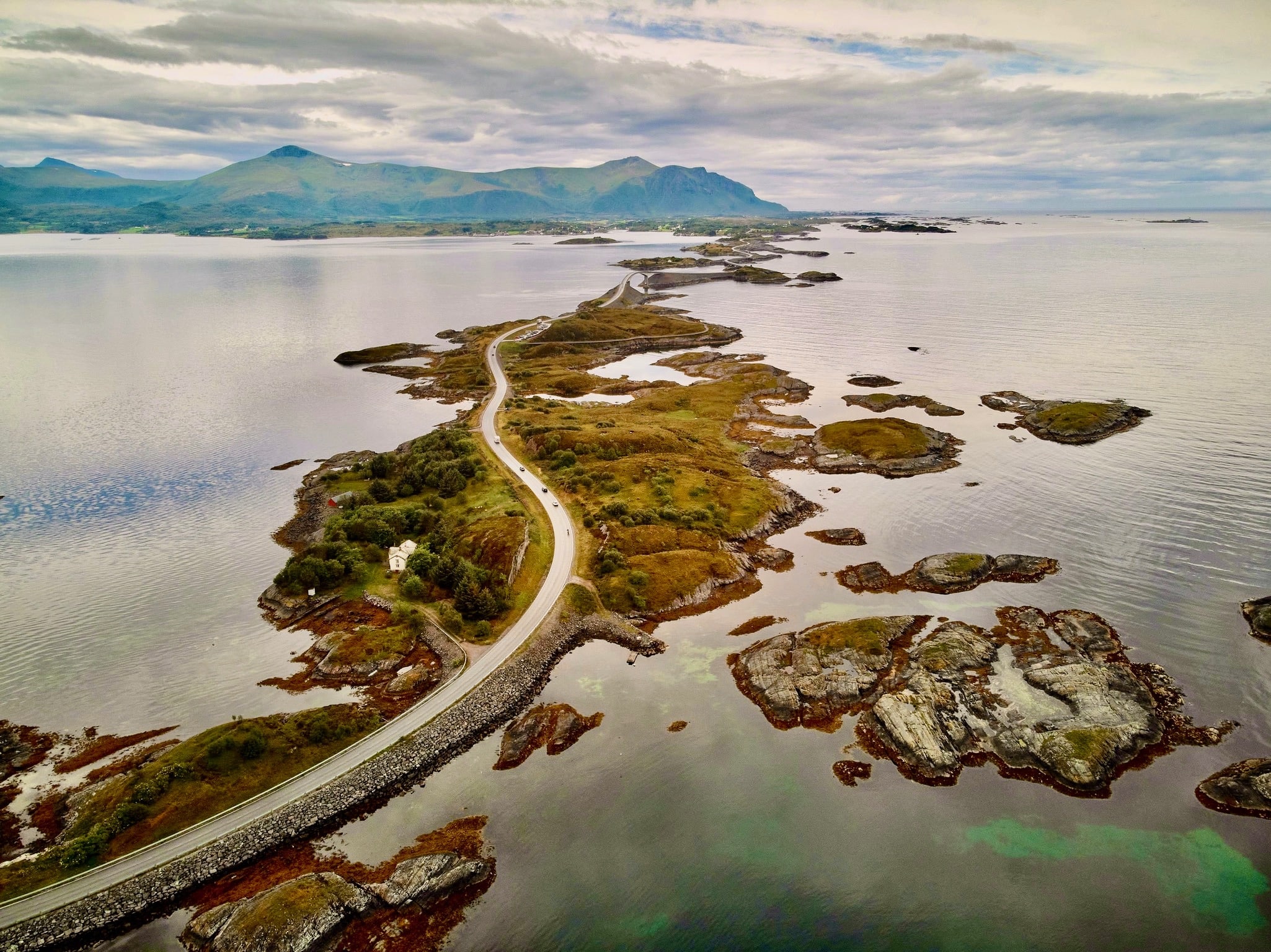
Nestled along Norway’s rugged west coast, the Atlantic Road outside Molde is a captivating blend of human innovation and natural grandeur. Explore the magic of this Norwegian gem, where engineering meets the untamed forces of the North Sea, creating an unforgettable experience for every traveler.
The Atlantic Road, known as “Atlanterhavsvegen” in Norwegian, is a picturesque and iconic roadway in Norway that stretches across the captivating North Sea. This engineering marvel is renowned for its stunning scenery and architectural brilliance, making it a popular tourist destination.
- Norwegian Seascape Marvel: The Atlantic Road is a captivating 8.3 km stretch along Norway’s rugged coastline outside Molde.
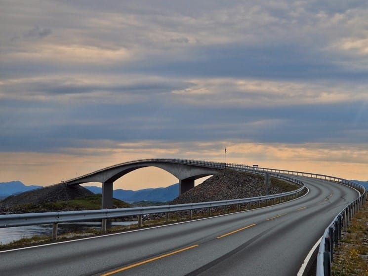
- Storseisundet Bridge: Its iconic cantilevered design, including the famous “Drunk Bridge,” adds to the road’s allure.
- Architectural Feat: The road weaves through islets and skerries, showcasing remarkable engineering amidst stunning landscapes.
- National Tourist Route: Recognized as part of Norway’s National Tourist Routes, it attracts global visitors seeking scenic beauty.
- Dynamic Weather: Experience rapid weather changes, from serene sunshine to misty, rain-kissed vistas, enhancing the journey.
- Wildlife: Rich marine life and seabirds create a natural spectacle, offering wildlife enthusiasts a captivating experience.
Constructed between 1983 and 1989, the Atlantic Road spans 8.3 kilometers (5.2 miles) and connects several small islands in the Molde archipelago. The road features a series of viaducts and bridges that seem to defy gravity as they curve and twist their way over the open sea. One of the most notable structures along the route is the mentioned Storseisundet Bridge, often referred to as the “Drunk Bridge” due to its seemingly disjointed appearance.
The Atlantic Road offers breathtaking views of the Norwegian coastline, with the turbulent waters of the Atlantic Ocean crashing against the rocks below.
The road’s strategic location allows travelers to experience the dramatic changes in weather and sea conditions, from calm and serene moments to wild and stormy ones.
Visitors often embark on a scenic drive along the Atlantic Road to witness the natural beauty of Norway, spot marine life, and capture unforgettable photographs. The area is also known for fishing, birdwatching, and other outdoor activities. Whether admired for its architectural ingenuity or its awe-inspiring surroundings, the Atlantic Road stands as a testament to Norway’s commitment to blending infrastructure with the breathtaking landscapes that define the country.
Rest areas and viewpoints
There are many rest areas and viewpoints along the Atlantic Road, like this one at Eldhusøya. This elevated hike makes a round trip around the small island, doable for everybody. The café is open during the summer season.
Suggested roundtrip
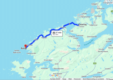
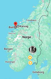
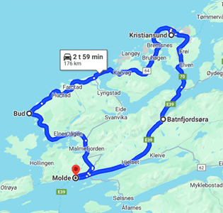
The Atlantic road itself is no more than 8,3 kilometers, from Vevang to Karvåg. If you want to explore this fascinating area, you could consider a daytrip starting from Molde to Bud, crossing The Atlantic Road, and continuing to Kristiansund. Returning to Molde via Batnfjordsøra. This route includes a ferry, crossing Kvernesfjorden.
This roundtrip is 176km, and takes approximately 3 hours of driving.
There are a lot of possibilities to free camp in this area. Notice that some road side facilities are open at day time, bud closed during the night.
We recommend you to check the Park4Night app for more information about the possibilities.

